With Google Earth, you can view high-resolution aerial and satellite images, elevation terrain, road and street labels, business listings, 3D buildings and much more. While you virtually navigate all over the Earth, you can find addresses and directions to the places you want to visit.
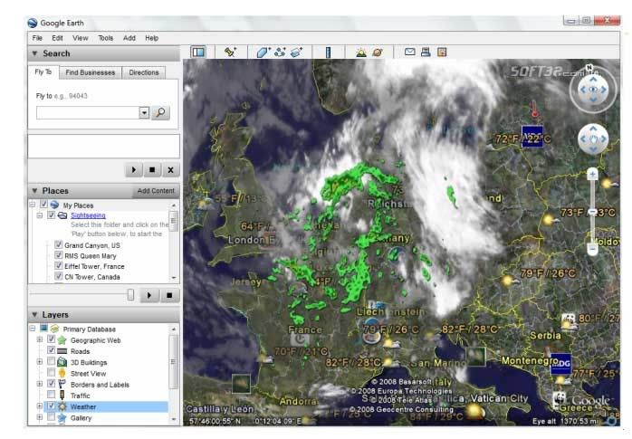
Mark your favorite places and tag them using icons or labels. You can even link to Youtube media. You can tilt your view and see mountainous terrain or you can even go sight seeing. You can find pretty much everything from street names to volcanoes. You can also use GPS devices with Google Earth. The weather conditions including temperatures are available as well.
Fly To, Local Search, and Driving Directions are now integrated with Google's search engine, you can "drive to" or "drive from" any placemark, icon, or MyPlaces entry using the right-click context menu. There are new mouse controls for tilting and rotating the maps . These controls are accessed by pressing down on the scroll wheel (or middle mouse button). To tilt the camera, hold the scroll wheel down while moving the mouse up and down. To rotate the camera, hold the scroll wheel down while moving the mouse left and right. To rotate without tilting (e.g. to do a 360 degree rotation), hold the shift key and scroll wheel down while moving the mouse in a circular motion around the center of the screen.
You can use Google Earth to navigate into the space. You can check out other constellations, black holes and many more. Besides, you can find out detailed information about the life of a star, the Moon, the planets or galaxies. There's also a Hubble showcase with info regarding the famous telescope.
Pluses: The possibility to use the inbuilt web browser. Google Earth is freeware and it's subject to continuous performance improvement.
Drawbacks / flaws:
In conclusion: Download, install, sit back, and enjoy the tour. A virtual trip around the world is one click away, while sitting in your chair.
Megaupload Link:-